Services
Scientific-grade aerial mapping and environmental imaging tailored to coastal and ecological research needs.
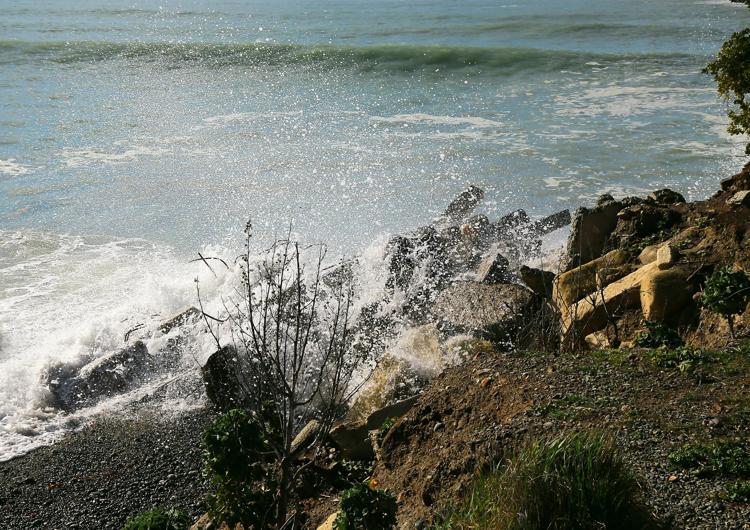
Coastal and Climate Change Monitoring
Track shoreline movement, dune and bluff changes, sediment transport, seasonal erosion and storm impacts using high‑resolution orthomosaics and digital elevation models (DEMs).
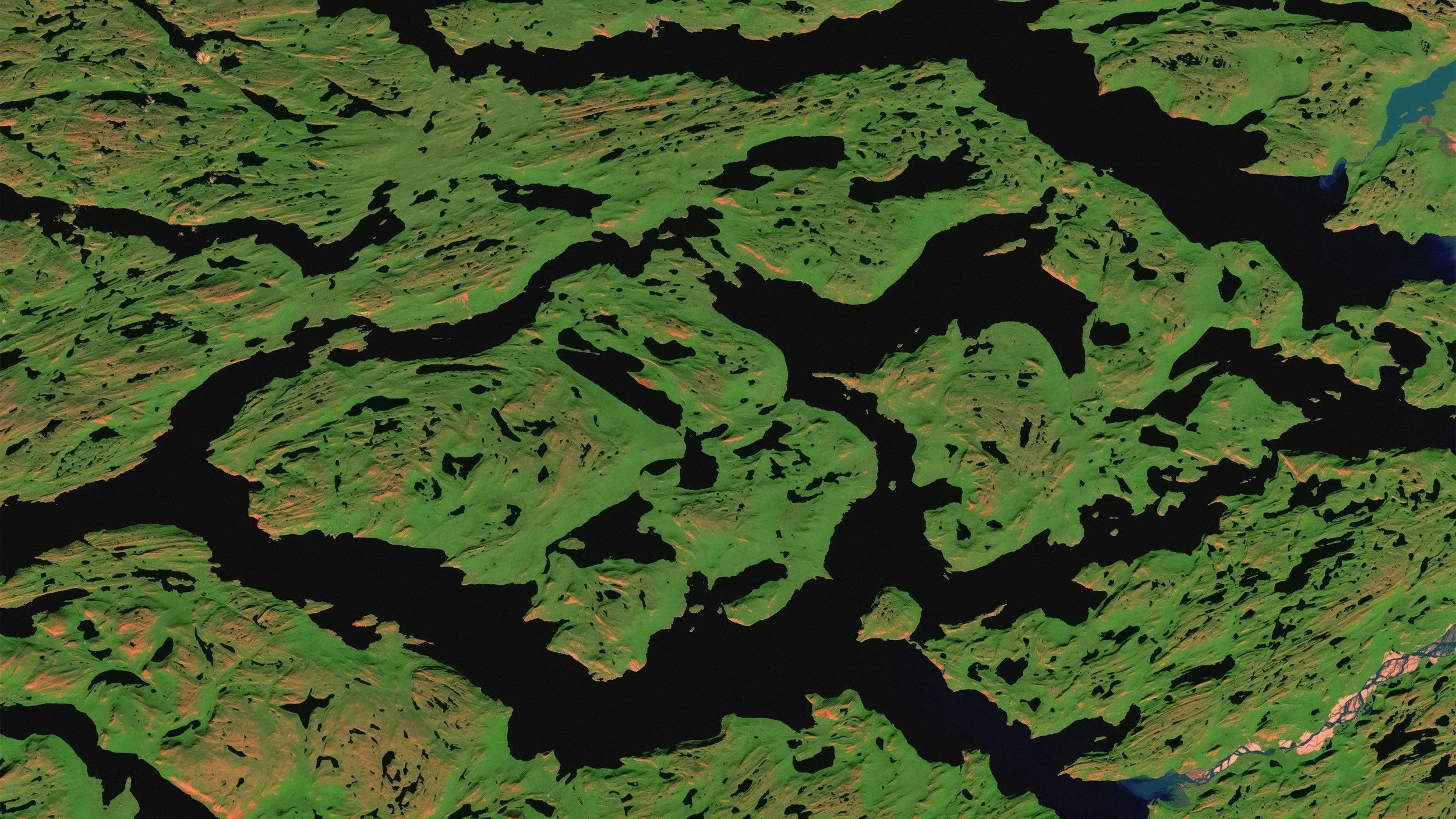
3D Modeling and Terrain Mapping
Digital Surface Models (DSM), Digital Elevation Models (DEM), point clouds, and volumetric analyses for scientific and planning applications.

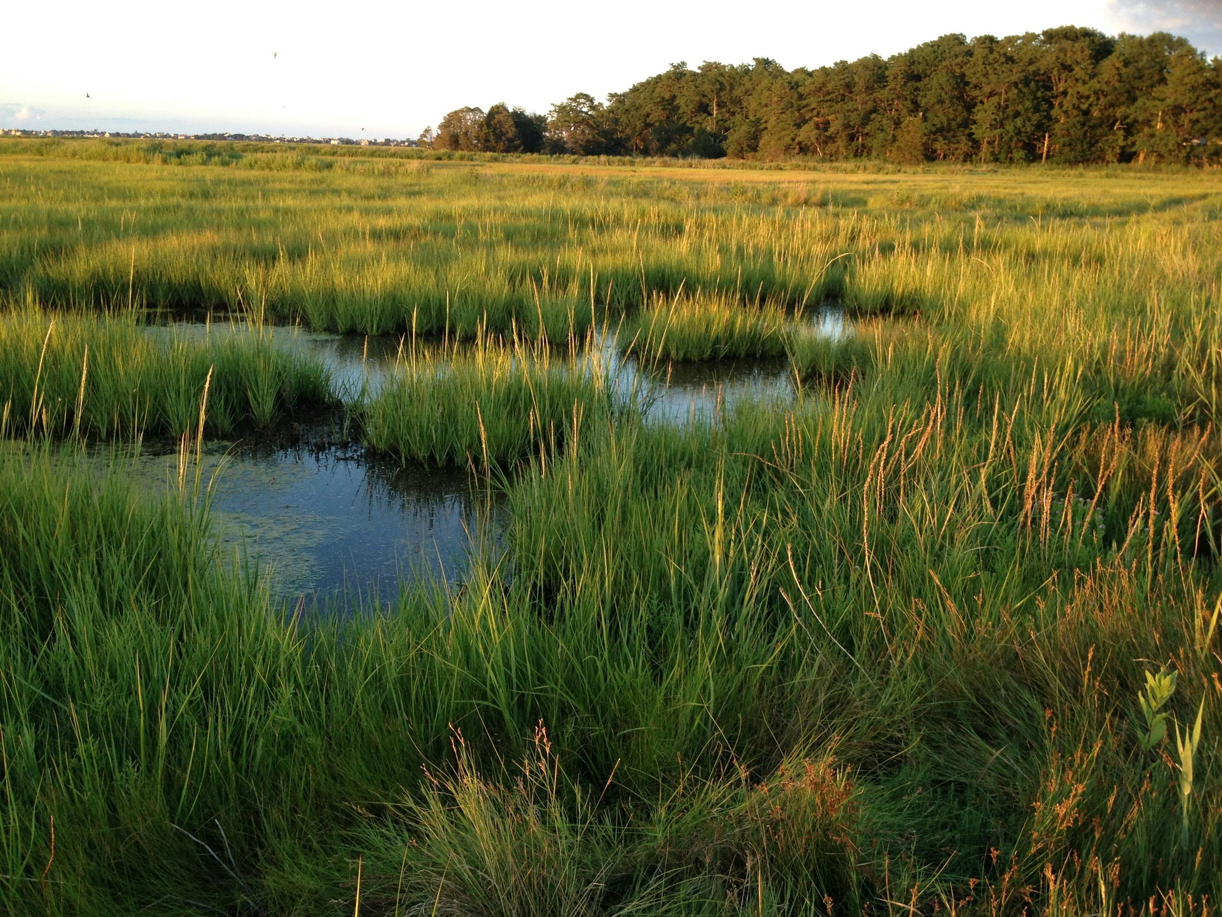
Environmental Research and Habitat Analysis
Data collection for wetlands, estuaries, salt marshes, coastal vegetation, forests, and other vulnerable habitats to support ecological field studies, academic research, and environmental assessments.
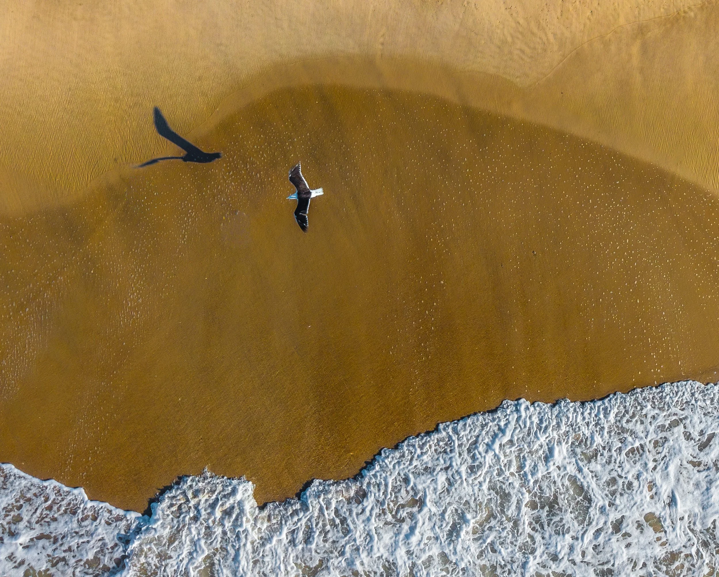
Wildlife Monitoring
Non-intrusive aerial surveys for marine mammals, shorebirds, fish activity, and habitat use—conducted ethically with minimal disturbance.
Aerial Photography and Cinematic Video
Professional-grade imagery for outreach, grants, presentations, and public education, including high-resolution stills, 4K video capture, and story-driven environmental visuals.