My Story
I founded Gaia Aerial Imagery to combine my background in environmental science with the capabilities of aerial technology. In my academic and professional work, I witnessed how quickly ecosystems can transform and how critical it is to have clear, accurate data to understand those shifts. Drone mapping became the tool that lets me bridge science with real-world impact — documenting environmental change with precision and integrity.
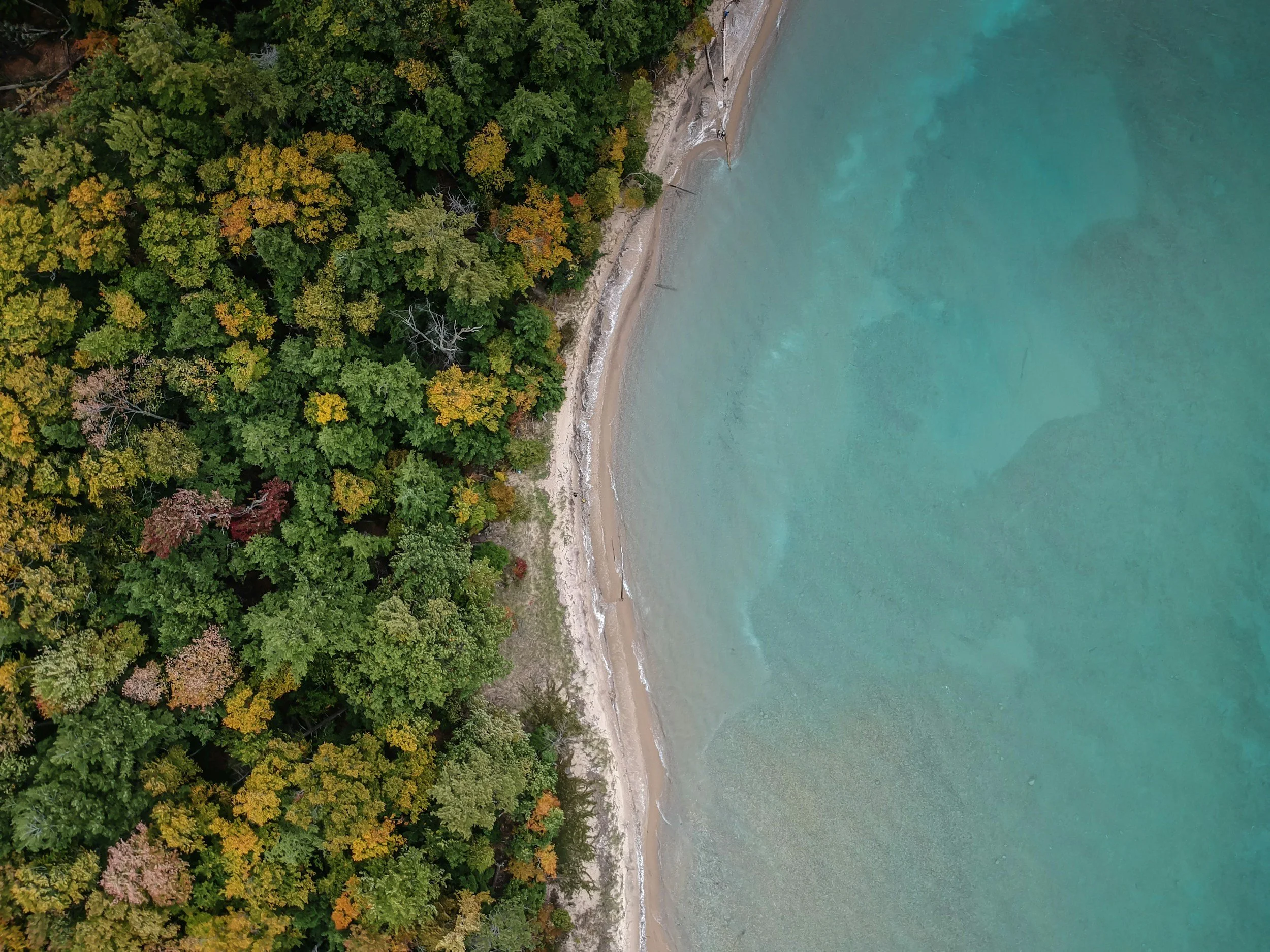
What makes aerial data so powerful is that it offers a perspective that cannot be seen from the ground. From above, we can observe patterns, scale, and interconnections that are otherwise invisible, revealing both the subtle and dramatic ways climate impacts reshape coastlines, wetlands, forests, and other vulnerable habitats.
These top-down perspectives also capture more than data. They reveal the beauty and chaos of ecosystems under stress — from shifting dunes to struggling wetlands and declining wildlife habitats — telling stories that are both stunning and sobering. I believe that seeing these ecological communities from the sky can communicate their vulnerability in ways that resonate both scientifically and emotionally.
Gaia Aerial Imagery exists to provide ethical, high-quality aerial data while showing the visual truth of our changing environment. My mission is to equip researchers, conservation groups, and communities with the tools they need to monitor, understand, and protect the ecosystems that sustain us.
My Approach
At Gaia Aerial Imagery, I combine technical precision with environmental expertise to provide data and insights that truly make a difference. My approach includes:
Careful Planning: Assessing each site and project goals to design flights that maximize data quality and relevance.
Ethical Flight Practices: Operating drones safely and responsibly, minimizing disturbance to habitats, wildlife, and local communities.
High-Resolution Mapping: Capturing imagery and data that provide both scientific accuracy and visual clarity.
Customized Data Solutions: Tailoring outputs — from maps to 3D models — to meet the specific needs of researchers, conservation groups, and municipalities.
Insightful Analysis: Highlighting patterns, changes, and trends that might be invisible from ground-level observation.
Visual Storytelling: Presenting imagery in a way that communicates both the science and the emotional impact of environmental change.
This approach ensures that every project delivers actionable, ethical, and visually compelling data that supports conservation, research, and community action.
My Equipment and Certifications
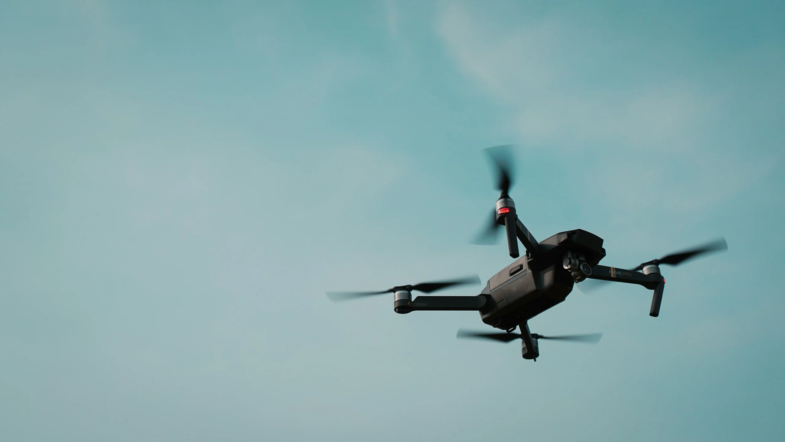
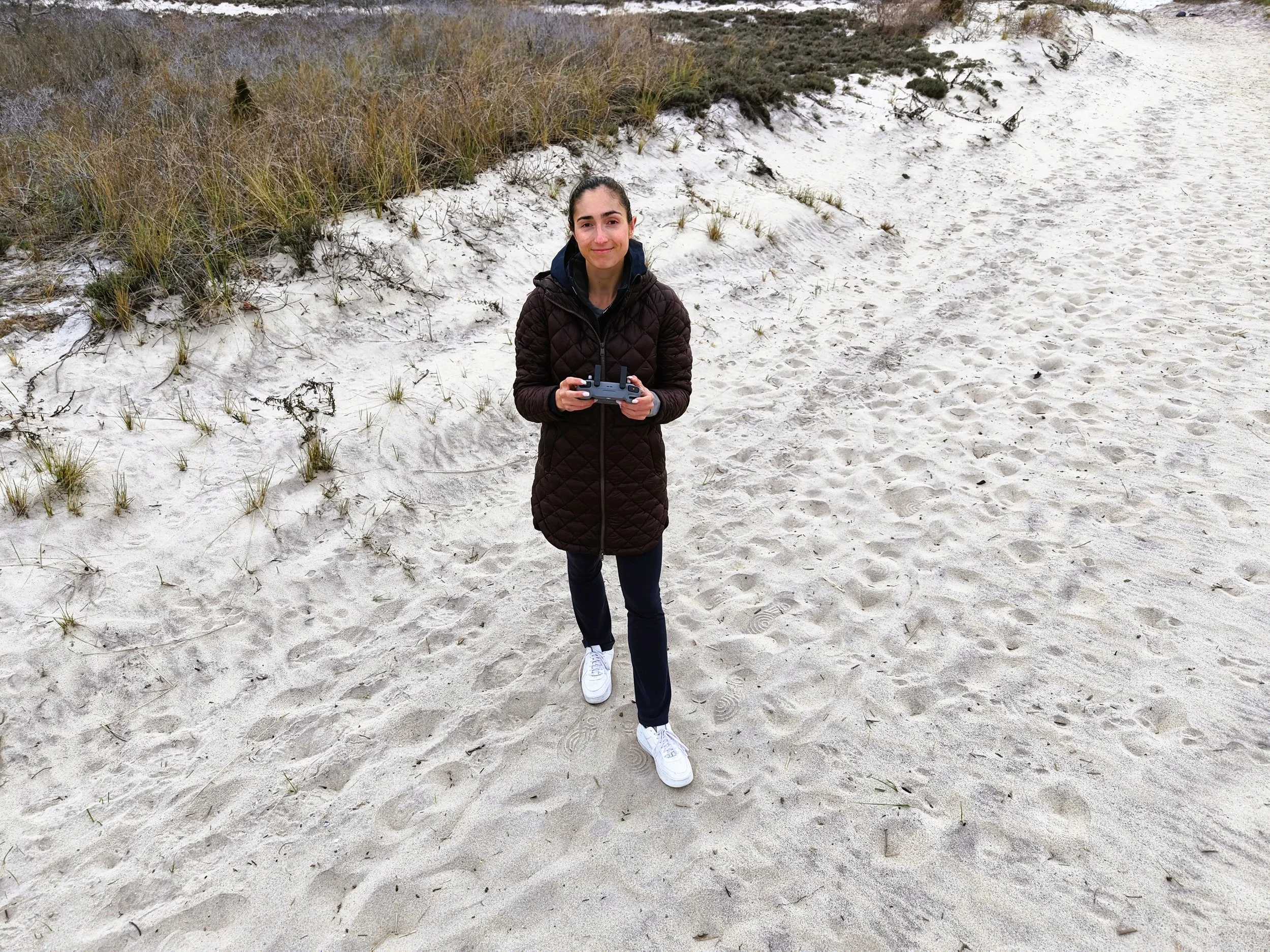
Safety, professionalism, and technical capability are my top priorities. I am a fully FAA Part 107 certified pilot, trained to operate drones in compliance with all federal regulations and best practices for safe, responsible flight. For each project, I use the DJI Matrice 4E, a cutting-edge drone equipped for high-resolution mapping, photogrammetry, and advanced environmental monitoring. Additionally, I have the DJI Mavic 4 Pro to capture additional high-quality photographs and videos of landscapes. This combination of certification and state-of-the-art equipment ensures that every flight produces accurate, reliable data while minimizing environmental impact.